


Free online File conversion
How to convert your VTP to GLTF online?
FQA
TRY MORE


Latest articles
VTP stands for Virtual Terrain Project and is an open source terrain rendering, computing and storage system. It provides a complete set of tools and libraries for creating, editing, rendering and analyzing Digital Terrain Models (DTMs) and related geographic information data.
The file format of VTP adopts XML and binary forms. It can store various types of geographic information data such as elevation data, texture data, vector data, etc. It supports multi-layer representation of terrain, that is, each layer contains a specific type of data.
In addition to file formats, VTP also provides a series of visualization tools, such as OpenGL-based 3D rendering engines, DEM/DTM analysis tools, map editors, etc., to facilitate users to visualize terrain and Data Analysis operations.
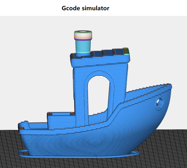
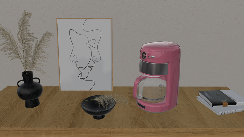
glTF (GL Transmission Format) is a 3D file format that stores 3D model information in JSON format. The use of JSON minimizes the size of 3D assets and the runtime processing required to decompress and use these assets. It is used by applications for efficient transmission and loading of 3D scenes and models. glTF was developed by the Khronos Group 3D Format Working Group and is also described by its creators as the JPEG of 3D.
The glTF file format defines a scalable, universal publishing format for 3D content tools and services, simplifying the creative workflow and enabling interoperable use of content across industries. The purpose of creating the glTF file format is to define a scalable, universal publishing format for 3D content tools and services, simplifying the creative workflow and enabling interoperable use of content across industries. It minimizes the runtime processing required by applications using WebGL and other APIs.